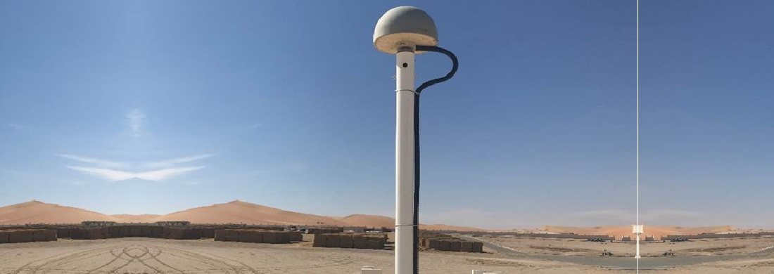
Abu Dhabi City Municipality is committed to monitoring all modern and effective programs and systems in the reference cadastral stations (surveying stations) system, keeping up with the continuous developments in the most sensitive and important systems. This forms a crucial database that assists in making the right decisions and achieving real and sustainable development standards.
Abu Dhabi City Municipality recognizes that the development and enhancement of surveying work have become essential to meet the demands and needs of development and urban expansion in the Emirate of Abu Dhabi. This is to ensure that surveying tasks are completed promptly while adhering to the highest quality standards in delivering these works and services.
From this perspective, Abu Dhabi City Municipality, represented by the City Planning Sector - Spatial Data Management, has endeavored to introduce the latest technologies, devices, and equipment related to surveying work into the reference cadastral stations system. This has been done in cooperation and coordination with all partners involved in this field at the Emirate level.
The Municipality has long been committed to automating surveying work to ensure quality, excellence, and speed in completing transactions. This effort aims to reduce the rate of errors and ensure data consistency. To achieve this, GPS satellite signal receivers have been used as an alternative to traditional devices for determining the coordinates of horizontal control points. Additionally, computers are utilized at all stages of submitting surveying work.
Abu Dhabi City Municipality has indicated that the network of fixed and distributed reference stations covers all regions of the Emirate of Abu Dhabi to receive satellite signals around the clock. This is a vital and strategic initiative that requires continuous monitoring, contributing to comprehensive development and integrated urban growth in the Emirate of Abu Dhabi.
It is worth mentioning that the network of cadastral stations was established in 2008. The system includes 36 reference cadastral stations distributed throughout the Emirate of Abu Dhabi. It operates around the clock (24x7) and is used to complete daily transactions related to surveying works, including land delivery and all other services.
There are also over 500 engineering companies and numerous relevant government agencies that benefit directly and daily from the system's outputs in implementing buildings and roads and determining the routes of service lines such as electricity, water, communications, sewage, and gas lines. Additionally, the system's outputs are utilized in aerial photography projects, lidar imaging, and other surveying projects. The operation of the cadastral stations system confirms that Abu Dhabi City Municipality provides advanced services with high accuracy and quality in this regard.
